-19°F in 30 Minutes: What Your Weather App's Wind Chill Number Actually Means
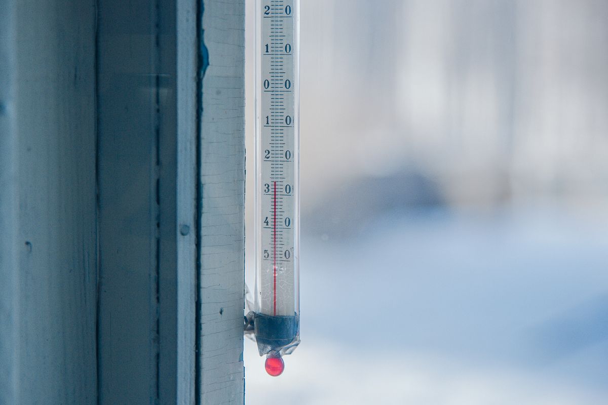
Last winter I walked my dog at 6:45am when the thermometer on my porch read a perfectly survivable 5°F. I've done that walk in 5°F before without much drama. This time, fifteen minutes in, my ears burned, then went numb, and my dog started lifting each paw off the sidewalk in turn. I checked my phone once we got back inside: 20 mph wind, wind chill of -19°F. The thermometer hadn't lied to me — I just hadn't asked it the right question.
⚠️ Disclaimer
This article is for informational purposes only and does not constitute medical advice. Frostbite and hypothermia are medical emergencies — if skin becomes numb, hard, or waxy-looking, or someone shows confusion or uncontrollable shivering, seek medical help immediately.
This is what wind chill actually is, the exact formula the National Weather Service uses to calculate it, how the frostbite-time scale works, and how to use that number to make a smarter call before you're the one whose ears you can't feel anymore — the way mine went.
What Is Wind Chill and Why Does It Matter?
Wind chill is the temperature the human body actually perceives when wind speed is factored in alongside air temperature — the cold-weather version of a "feels like" reading. Your skin is always losing a small amount of heat into a thin boundary layer of air that clings to it and warms up slightly, acting like invisible insulation. Wind strips that layer away continuously, forcing your skin to keep reheating a fresh supply of cold air, which pulls heat from your body faster than still air ever would.
That's the entire mechanism, and it's why two locations reporting the same 5°F air temperature can present very different cold-stress risk. A calm 5°F day is uncomfortable but manageable for a short walk. A windy 5°F day — the exact one I walked into — can put exposed skin at frostbite risk inside half an hour, even though the thermometer reading never changed.

Key Takeaway
Wind, not just air temperature, often decides whether cold weather is merely unpleasant or genuinely dangerous. At 0°F, a 15 mph wind already drops the wind chill to around -19°F — squarely in frostbite-risk territory that the raw thermometer reading alone would never suggest.
How Is Wind Chill Actually Calculated?
The wind chill figure reported by most weather services comes from the NWS/Environment Canada wind chill formula, adopted by the U.S. National Weather Service in November 2001. It replaced an older 1945 model that overestimated cooling, after joint research by the U.S. and Canadian weather services measured how quickly human facial skin actually loses heat in a wind tunnel. In Fahrenheit, with T as air temperature and V as sustained wind speed in mph:
That V^0.16 exponent is why the formula isn't something to eyeball — it's a fitted curve based on measured heat-loss rates, not a simple ratio, which is why the Wind Chill Calculator exists to run it instantly in either Fahrenheit/mph or Celsius/kph. It's still worth knowing the shape of it, though: because of that fractional exponent, wind chill drops fastest at low wind speeds and flattens out at higher ones — the jump from 0 mph to 10 mph costs you far more "feels like" degrees than the jump from 30 mph to 40 mph does.
The formula is only valid at air temperatures of 50°F (10°C) or below with wind speeds above 3 mph. Outside that range, wind doesn't meaningfully strip heat fast enough to matter, so the NWS just reports the actual air temperature instead of applying the equation.
⚠️ Note
Wind chill assumes calm daylight conditions on exposed, dry facial skin — it doesn't add extra for wind gusts (only sustained speed), and it doesn't subtract anything for sunshine. A gusty day with the same average wind speed as a steady one will still feel colder in practice than the number suggests.
The Frostbite Time Scale: What Your Number Means
The NWS ties a specific frostbite-onset time to wind chill ranges, based on how fast exposed, unprotected skin loses enough heat to start freezing:
| Category | Wind Chill (°F) | Frostbite Risk |
|---|---|---|
| No Unusual Risk | 32°F and above | Wind has little cooling effect |
| Low Risk | 0°F to 32°F | Dress warmly; no immediate danger |
| Frostbite in 30 Min | -24°F to -1°F | Exposed skin can freeze in 30 minutes |
| Frostbite in 10 Min | -44°F to -25°F | Exposed skin can freeze in 10 minutes |
| Extreme Danger | -45°F and below | Frostbite in 5 minutes or less |
Frostbite is tissue damage that occurs when skin and the tissue beneath it actually freeze, and in severe cases it can require amputation of affected fingers, toes, ears, or nose. The National Weather Service built this scale specifically so a single number — not a mental calculation involving temperature and wind speed separately — tells you how long you realistically have outdoors before exposed skin is at risk.
💡 Pro Tip
Check wind chill the same way you'd check air temperature before a winter run, dog walk, or commute — not after your ears already sting. If it's in the "Frostbite in 30 Min" range or colder, cover every inch of exposed skin and cap outdoor time to well under that window.
A Worked Example, in Two Unit Systems
US / imperial: air temperature 0°F, sustained wind speed 15 mph. Running both through the NWS formula gives a wind chill of roughly -19°F — in the "Frostbite in 30 Min" category, 19 degrees colder than the thermometer reading alone. That's close to the exact combination from my dog walk: the raw temperature would've suggested "cold but fine," while the actual wind pushed it into real frostbite risk.
UK / metric: air temperature -5°C (23°F), wind speed 30 kph (about 19 mph) — a fairly typical blustery winter day in parts of the UK, Scandinavia, or the northern US. That works out to a wind chill of about -14°C (7°F), still in "Low Risk" territory but noticeably colder than -5°C sounds on its own. Nothing about "minus five" feels alarming until the wind is factored in, and the calculator is what surfaces that gap instead of leaving it to guesswork.
Key Takeaway
A 15–25°F (8–14°C) gap between air temperature and wind chill is common, not rare, once sustained wind climbs past roughly 15 mph (24 kph) in freezing conditions. That gap is exactly what a "feels like" number is designed to surface.
Who's Most at Risk, and How to Stay Safe
Extreme cold and winter weather contribute to hundreds of deaths in the United States every winter, according to CDC mortality data, with hypothermia and cold-related cardiac events accounting for most of them — a toll that's easy to underestimate because it accumulates quietly rather than making headlines the way a single storm does. Older adults, infants, people with cardiovascular or circulatory conditions, outdoor workers, and anyone caught outside without adequate layers all carry elevated risk, largely because each group has a reduced ability to generate or retain body heat.
Outdoor and construction workers face this often enough that OSHA recommends employers monitor wind chill specifically — not just air temperature — when setting work/rest schedules and requiring warm-up breaks in cold environments.

Practical steps that actually move the needle:
- Layer for the wind chill number, not the thermometer. Wind-resistant outer layers matter more than raw warmth once wind speed climbs — a windproof shell over insulating layers blocks the exact mechanism that makes wind chill dangerous.
- Protect extremities first. Fingers, toes, ears, and nose lose heat fastest and show frostbite symptoms first; insulated gloves, wool socks, and a hat that covers the ears aren't optional once wind chill drops below 0°F.
- Cap outdoor exposure to the frostbite-time window, not your usual routine. If you'd normally run for 40 minutes but the wind chill puts you in "Frostbite in 30 Min," that's a signal to shorten the route or move indoors — pace expectations shift in cold the same way they do in heat, the way the Running Pace Calculator accounts for effort under different conditions.
- Know the warning signs of frostbite and hypothermia — numbness, skin that looks white or grayish-yellow, uncontrollable shivering, confusion — and treat any of them as a signal to get inside and warm up immediately, not push through.
- Don't forget hydration in winter. Cold weather blunts thirst signals even though you're still losing fluid through respiration and layered sweat, so the Water Intake Calculator target still applies in January, not just July.
Wind Chill vs Heat Index: What's the Difference?
Wind chill and heat index are opposite ends of the same idea: both describe a "feels like" temperature that diverges from the thermometer reading, but they respond to different mechanisms entirely. Wind chill drops with wind speed in cold weather because moving air strips heat from exposed skin faster than still air does, making cold feel worse. Heat index rises with humidity in hot weather because moist air slows sweat evaporation, making heat feel worse. Neither formula is an inverted or scaled version of the other — they're built from separate physical processes and separate regression equations entirely.
They also don't overlap in when they apply: wind chill only kicks in at 50°F (10°C) and below with wind above 3 mph, while heat index only applies once temperatures climb into the 80°F+ range with real humidity. If you want the summer-side version of this same "feels like" question, The Thermometer Said 95°F. My Watch Said It Felt Like 113°F walks through the exact same idea driven by humidity instead of wind, using the Heat Index Calculator.
⚠️ Note
Indoors, wind chill is irrelevant — a still, insulated home doesn't need a wind correction the way exposed skin outdoors does. If you're trying to figure out how much a drafty house is actually costing you to heat, the Insulation Calculator and BTU Calculator are the more useful tools for that question.
Frequently Asked Questions
Is wind chill the same as the "feels like" temperature on my weather app?
Usually yes, once it's cold out. Most weather apps use "feels like" as an umbrella term that switches formula by season — wind chill in cold, windy weather and heat index in hot, humid weather — so the same field on your phone can mean either one depending on the time of year.
Does wind chill affect car engines, pipes, or other objects?
No. Wind chill is specifically a measure of how fast exposed human (or animal) skin loses heat — it has no meaning for inanimate objects, which cool to the actual air temperature regardless of wind speed, not below it. A car battery or water pipe won't get colder than the thermometer reading just because it's windy.
What wind chill is considered dangerous?
The National Weather Service treats -19°F (-28°C) and below as the point where exposed skin can develop frostbite within roughly 30 minutes. Wind chills below -25°F (-32°C) shorten that window to about 10 minutes, and -45°F (-43°C) and below can cause frostbite in 5 minutes or less.
Why doesn't wind chill apply above 50°F?
The NWS/Environment Canada formula is only calibrated for air temperatures at or below 50°F (10°C) combined with wind speeds above 3 mph. Above that threshold, wind's cooling effect on skin isn't considered significant enough to need a correction, so the actual air temperature is reported instead.
Does higher wind speed always make wind chill colder?
Yes, but with diminishing returns. Because the formula's wind term uses a fractional exponent (V^0.16), the drop from calm air to a moderate breeze costs far more "feels like" degrees than an equivalent increase at already-high wind speeds — going from 5 mph to 15 mph matters more than going from 35 mph to 45 mph.
Try It Yourself
The 19-degree gap between what my porch thermometer said and what my ears were actually dealing with wasn't unusual — it's what wind does to cold stress on almost every genuinely windy winter day. Checking the thermometer alone leaves that entire effect invisible, the same way it did for me until I checked the number after the fact instead of before.
Use the Wind Chill Calculator to get an accurate "feels like" reading and frostbite-risk category from any air temperature and wind speed combination, in Fahrenheit/mph or Celsius/kph.
Also worth checking:
- Heat Index Calculator — the summer-weather counterpart to wind chill
- Water Intake Calculator — hydration doesn't stop mattering just because it's cold
- Running Pace Calculator — adjust pace expectations for winter conditions
- Insulation Calculator and BTU Calculator — size heating for a drafty room based on real numbers, not guesswork